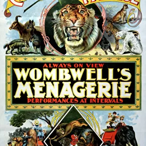
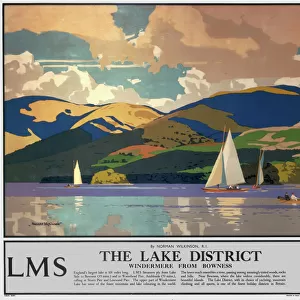
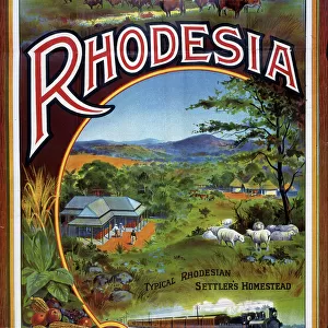
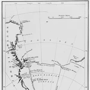
Home > Popular Themes > Railway Posters
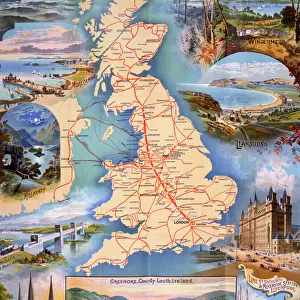
Station map

![]()
Wall Art and Photo Gifts from Mary Evans Picture Library
Station map
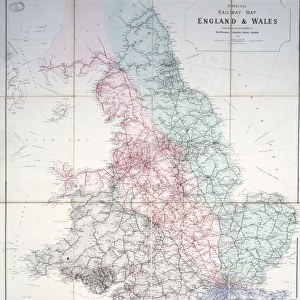
Z Macaulays station map of the railways in Great Britain, 1854 Date: 1854
Mary Evans Picture Library makes available wonderful images created for people to enjoy over the centuries
Media ID 7401943
© Mary Evans Picture Library 2015 - https://copyrighthub.org/s0/hub1/creation/maryevans/MaryEvansPictureID/10474746
FEATURES IN THESE COLLECTIONS
> Maps and Charts
> Related Images
> Mary Evans Prints Online
> National Archives
> Popular Themes
> Railway Posters
EDITORS COMMENTS
1. Title: "A Journey Through Time: Macaulay's 1854 Station Map of the Railways in Great Britain" This antique print, dated 1854, showcases the intricate and extensive railway network that crisscrossed Great Britain during the 19th century. The map, created by the renowned Scottish civil engineer and geographer, Charles T. R. Macaulay, offers a fascinating glimpse into the early days of the railway era. Macaulay's map, featuring 53 major stations, was a groundbreaking achievement in its time, as the railway system was rapidly expanding and connecting the vast and diverse regions of the British Isles. The intricate detailing of the map reveals the meticulous planning and engineering prowess required to construct and maintain the railway infrastructure. The map is adorned with various symbols and annotations, denoting the different railway companies, their lines, and the distances between stations. The intricate network of lines weaves through the landscape, connecting major cities and towns, and providing a means of transportation that revolutionized travel and commerce. The map's antique charm transports us back in time, allowing us to appreciate the ingenuity and ambition of the Victorian era. It serves as a testament to the transformative impact of the railway system on Great Britain, paving the way for the modern transportation infrastructure we know today. This print, sourced from Mary Evans Prints Online, is a valuable historical document that offers a unique perspective on the railway network during the 19th century. It is an essential addition to any collection focusing on transportation history, Victorian-era studies, or British cultural heritage. In conclusion, Macaulay's 1854 Station Map of the Railways in Great Britain is a captivating and historically significant piece that offers a glimpse into the past, showcasing the remarkable progress and innovation of the railway system during the Victorian era.
MADE IN THE USA
Safe Shipping with 30 Day Money Back Guarantee
FREE PERSONALISATION*
We are proud to offer a range of customisation features including Personalised Captions, Color Filters and Picture Zoom Tools
SECURE PAYMENTS
We happily accept a wide range of payment options so you can pay for the things you need in the way that is most convenient for you
* Options may vary by product and licensing agreement. Zoomed Pictures can be adjusted in the Cart.